Our Services
-
Environmental Monitoring
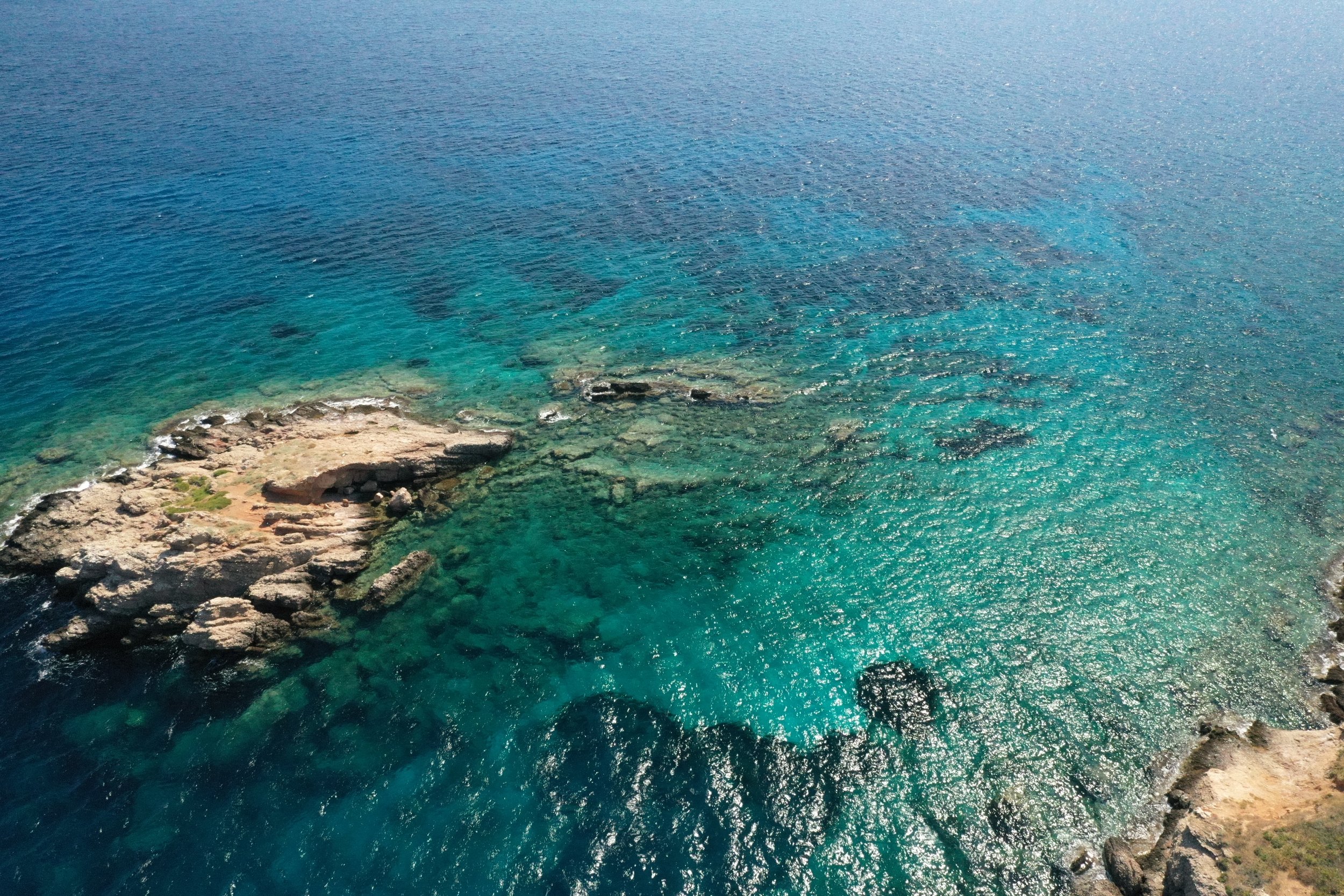
Drone surveys of landscapes, both marine & terrestrial, can provide information about biodiversity, habitat classification & encroachment of human activities.
Pricing for this service is based on the geographic scale of the survey & the specific information required.
-
Marine Protected Area Management
Marine Protected Areas (MPAs) are vital to marine conservation & require rapid, fine scale resolution information for monitoring purposes.
We are developing a suite of monitoring applications to provide this information as well as training for MPA staff & stakeholders.
-
Land Surveying
Aerial surveys can provide a clearer layout of an area and what exists in it.
By surveying the extent of land boundaries, we can define how land-uses affect natural habitats, and fidelity of existing agreements in the context of environmental justice.

Get Involved
If you would like to join our surveys or report an issue of concern, please get in touch here.

