
AERIAL SURVEYING
ENVIRONMENTAL CONSULTING
SPATIAL ECOLOGY
IT’S ALL ABOUT PERSPECTIVE.
-
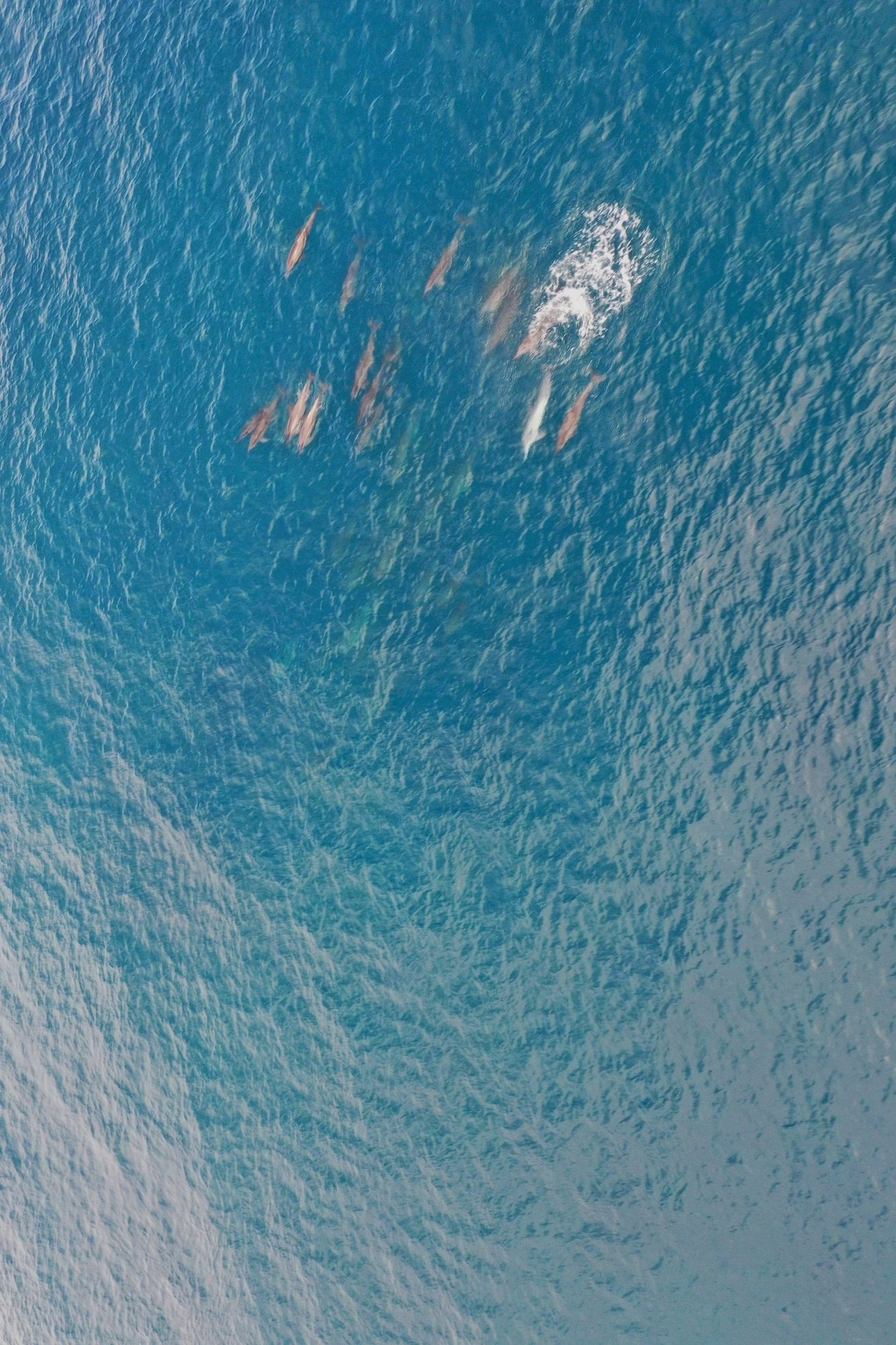
Biodiversity Surveys
Aerial surveys can be used to identify marine megafauna within marine ecosystems. Creating a baseline biodiversity survey is vital for determining how local ecosystems change over time. These surveys are vital for the study of MPAs, to assess impacts of human activity on marine environments.
-

Lost & Abandoned Fishing Gear
Lost & discarded fishing gear, AKA Ghost Gear, accumulate in marine environments, resulting in large scale damage to life through wildlife entanglement & damage to reef ecosystems. Aerial surveys serve to identify hotspots where Ghost Gear can build up in order to remove gear & protect marine ecosystems.
-

Coral Bleaching Assessment
Rising ocean temperatures & increased acidity are resulting in large scale coral bleaching, globally. We can provide training and baseline surveys for the monitoring of coral bleaching via aerial surveys.
-

Land & Boundary Mapping
Aerial survey provides a low-cost & high resolution method for monitoring changes in land-use. Georeferenced maps produced by drone surveys can clarify issues related to property distribution and land-use activity, particularly logging.
-
-

Aerial Photography & Filming
Aerial photography is a unique tool for visualising environments & experiences. Learn about how our photography services can promote your projects.